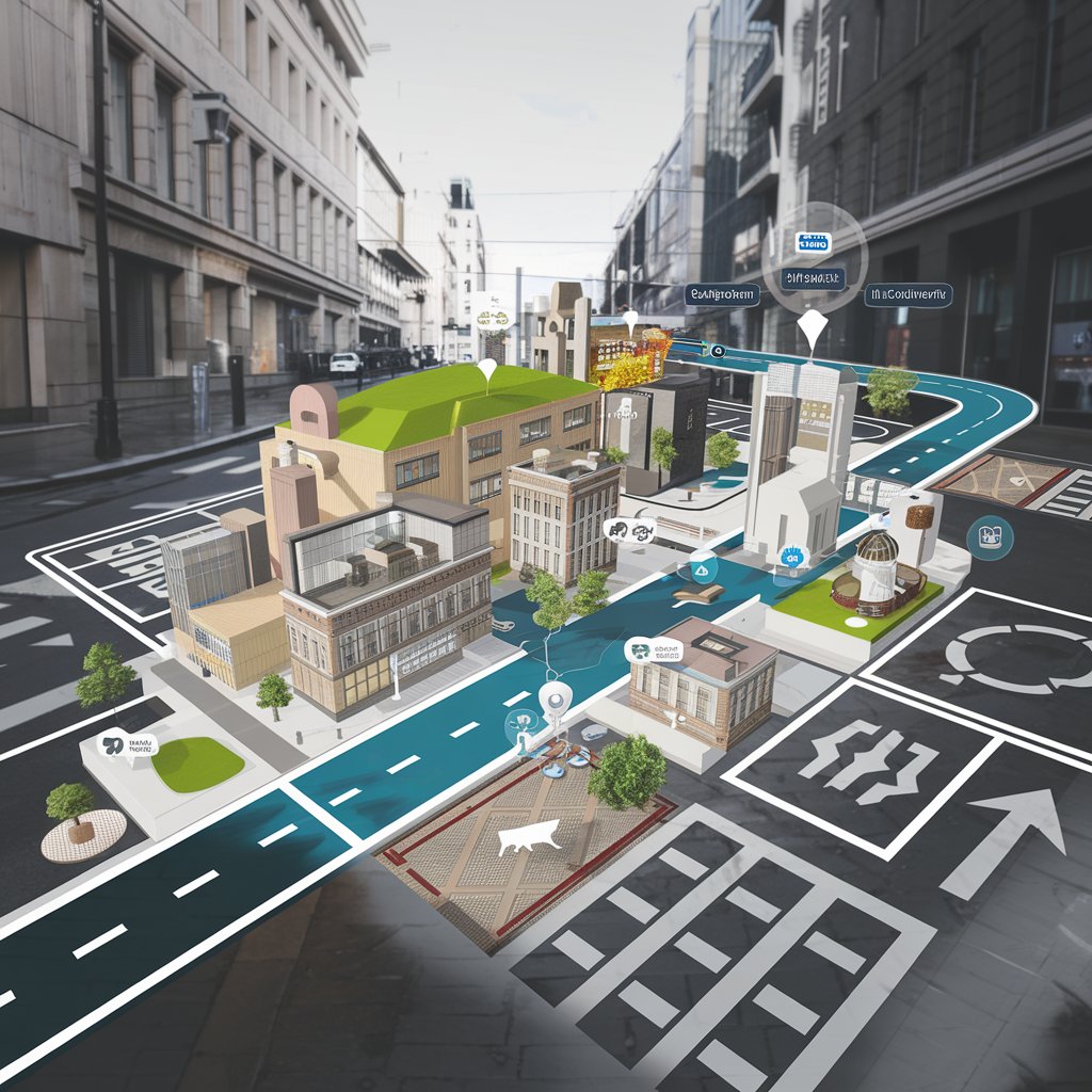
Augmented Reality (AR) is revolutionizing the navigation industry by providing enhanced user experiences, improved accuracy, and innovative solutions for various applications. From car navigation systems to indoor navigation, pedestrian guidance, and aviation, AR is reshaping how we navigate our environments. This article explores the diverse applications of AR across different navigation sectors.
The augmented reality (AR) navigation market is expected to reach USD 6.33 billion by 2029 from USD 1.17 billion in 2024, at a CAGR of 40.3% during the 2024-2029 period. Multiple companies like Volkswagen (Germany), Mercedes-Benz Group AG and many others are investing is augmented reality (AR) navigation which is increasing the opportunity for growth in the AR navigation market. The AR navigation industry is continuously developing, with the presence of multiple players. Currently, the North America region is contributing significantly to the growth of the AR navigation industry. Similarly, Asia Pacific, Europe and RoW regions are expected to be the growing market for the forecasted period.
Augmented Reality in Car Navigation Systems
AR is transforming car navigation systems by overlaying digital information onto the real-world view seen through the vehicle’s windshield. This technology enhances the driving experience in several ways:
Key Features:
Heads-Up Displays (HUDs):
AR HUDs project essential navigation information, such as directions, speed limits, and points of interest, directly onto the windshield. This allows drivers to keep their eyes on the road while receiving real-time guidance.
Enhanced Route Visualization:
AR can illustrate complex intersections and lane guidance, making it easier for drivers to navigate challenging routes. Visual cues help reduce confusion and improve decision-making.
Real-Time Traffic Information:
By integrating live traffic data, AR navigation can display congested areas and suggest alternative routes. This dynamic information helps drivers avoid delays and improve travel efficiency.
Augmented Landmarks:
AR can highlight nearby landmarks and services (like gas stations or restaurants) using visual indicators, enhancing situational awareness for drivers.
Download PDF Brochure @ https://www.marketsandmarkets.com/pdfdownloadNew.asp?id=150009689

Use of AR in Indoor Navigation
Navigating complex indoor environments, such as shopping malls, airports, and hospitals, can be challenging. AR provides effective solutions for enhancing indoor navigation:
Key Features:
Visual Wayfinding:
AR applications can overlay directional arrows and paths on a user’s smartphone screen, guiding them to their desired destination within a building.
Interactive Maps:
By scanning the environment, AR can create interactive maps that provide context-specific information, helping users locate services, restrooms, and exits efficiently.
Enhanced Location Awareness:
AR can utilize indoor positioning systems (IPS) to pinpoint a user’s location accurately, providing real-time navigation even in areas where GPS signals may be weak or unavailable.
AR Navigation for Pedestrians
For pedestrians, AR offers innovative navigation solutions that enhance safety and convenience:
Key Features:
Real-Time Directions:
AR navigation apps can provide turn-by-turn directions overlaid onto the real-world view, making it easier for pedestrians to follow routes without constantly checking their devices.
Landmark Recognition:
AR can recognize and highlight important landmarks or points of interest, helping users orient themselves within their surroundings.
Safety Alerts:
By integrating with real-time traffic data, AR can alert pedestrians about upcoming road crossings, bicycle lanes, or hazardous areas, improving overall safety.
AR Navigation in Aviation and Drone Technology
In the aviation sector, AR navigation Industry is proving invaluable for both pilots and drone operators by providing enhanced situational awareness and navigation capabilities:
Key Features:
Cockpit Displays:
AR technology can display critical flight data, including altitude, speed, and navigation routes, directly onto the cockpit visor, allowing pilots to maintain focus on their environment.
Enhanced Situational Awareness:
AR can overlay flight path information and nearby air traffic, helping pilots make informed decisions during complex maneuvers and landings.
Drone Navigation:
For drone operators, AR can provide real-time mapping and obstacle detection, facilitating safer navigation in complex environments while ensuring compliance with regulations.
AR in Marine and Ship Navigation
The maritime industry is also embracing AR to enhance navigation safety and efficiency:
Key Features:
Augmented Charts:
AR can superimpose navigational charts onto the real-world view from the bridge, displaying critical information such as depth contours, buoys, and navigational hazards.
Collision Avoidance:
By integrating AR with radar and AIS (Automatic Identification System), vessels can visualize nearby ships and potential collision paths, improving situational awareness and safety.
Training and Simulation:
AR can be used in training environments to simulate real-world navigation scenarios, helping crew members develop skills and responses to various maritime challenges.
Augmented Reality is making significant strides in the navigation industry, enhancing how individuals and vehicles navigate both indoor and outdoor environments. From improving car navigation systems to providing pedestrian guidance and transforming aviation and marine navigation, AR is set to redefine the future of navigation. As technology continues to advance, the integration of AR in navigation will become increasingly sophisticated, offering users a seamless and enriched experience.
The key players in AR navigation Companies are :
Google LLC (US), Apple Inc. (US), Microsoft (US), Neusoft Corporation (China), WayRay AG (Switzerland), FURUNO ELECTRIC CO., LTD. (Japan), ARway Corp. (Canada), Wiser Marine Technologies Ltd. (Canada), Mapbox (US), Treedis (Israel), ViewAR GmbH (Austria), Artisense GmbH (Kudan Germany GmbH.) (Germany), IndoorAtlas (Finland), Hyper (London), SITUM TECHNOLOGIES (Spain), Insider Navigation Inc (Austria), Wemap SAS (France), Resonai Inc. (Israel), Oriient New Media Ltd (Israel), Navigine (US), 22Miles (US), Sygic (Bratislava), Veo (Poland), HERE (Netherlands), and Esri (US).
