In the rapidly evolving world of technological advancements, LiDAR (Light Detection and Ranging) sensors are emerging as a game-changer across multiple industries. From autonomous vehicles to geospatial mapping, surveying, and robotics, LiDAR sensors are transforming how data is collected, analyzed, and applied in the real world. These sensors, which use laser pulses to measure distances and create detailed, high-resolution 3D maps of the environment, are now essential in numerous applications, reshaping industries and offering innovative solutions.
What is LiDAR?
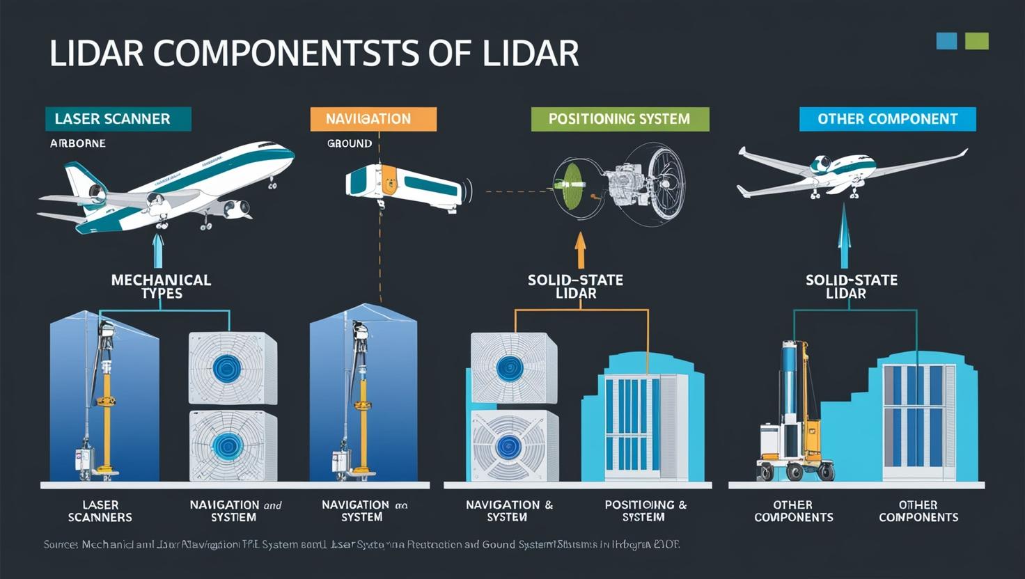
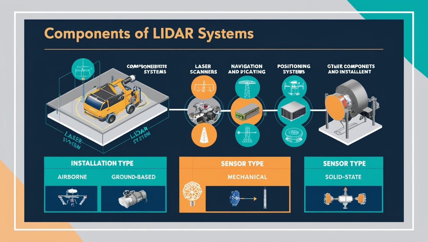
LiDAR technology uses laser light to scan the environment, measuring the time it takes for light to bounce back after hitting an object. This information is then used to create detailed, precise 3D models or point clouds of the scanned area. These point clouds can be used for various purposes, including mapping terrains, detecting obstacles, and providing detailed data for navigation. LiDAR sensors can operate in all lighting conditions, making them superior to traditional imaging systems like cameras or radar in many cases.
LiDAR Sensors in Mapping and Surveying
One of the most significant applications of LiDAR technology is in mapping and surveying. Traditionally, surveying large areas, such as forests, urban landscapes, or archaeological sites, was a labor-intensive and time-consuming task. However, with the advent of LiDAR, surveyors can now capture highly accurate, 3D data in a fraction of the time it would take using conventional methods.
LiDAR sensors are particularly valuable in creating topographic maps, measuring elevation data, and modeling geospatial landscapes. The ability of LiDAR to penetrate through vegetation, such as tree canopies, provides more accurate ground-level data compared to other mapping technologies. This is especially useful in forestry, agriculture, and environmental monitoring, where understanding the terrain and vegetation coverage is essential.
For example, in environmental surveying, LiDAR technology is used to monitor coastal erosion, deforestation, and landform changes. It also plays a critical role in disaster management, such as mapping flood-prone areas and supporting flood risk assessments.
LiDAR Sensors in Robotics
The role of LiDAR in robotics has seen substantial growth in recent years, especially in industries such as autonomous vehicles, manufacturing, and warehouse automation. LiDAR sensors provide robots with the ability to perceive and interact with their surroundings accurately and efficiently.
-
Autonomous Vehicles: In the realm of autonomous vehicles (AVs), LiDAR sensors are crucial for providing vehicles with a 360-degree view of their environment, detecting objects, and identifying obstacles or hazards in real-time. They enable AVs to understand their surroundings at various distances and angles, which is critical for navigation and safety. LiDAR-based systems are considered more reliable than cameras or radar, particularly in challenging lighting conditions like darkness or fog.
-
Warehouse Robotics: In automated warehouses, robots equipped with LiDAR sensors can efficiently navigate through aisles, avoid obstacles, and optimize their operations in real-time. These systems rely on LiDAR’s precise, high-resolution mapping capabilities to perform tasks such as picking, sorting, and material handling with minimal human intervention.
-
Robotic Mapping and Exploration: LiDAR is also being used in robotic exploration for areas that are too dangerous for humans to access. For instance, robots used in search-and-rescue missions or space exploration rely on LiDAR to create detailed, real-time 3D maps of the environment. This allows them to assess obstacles, evaluate terrain, and plan efficient routes for further exploration.
Download PDF Brochure @ https://www.marketsandmarkets.com/pdfdownloadNew.asp?id=1261
LiDAR Sensors in the Defense and Security Sectors
Another significant application of LiDAR technology is in the defense and security sectors. LiDAR-based systems are increasingly being used in surveillance, border security, and reconnaissance missions due to their ability to deliver highly detailed 3D imaging in low-light or poor-visibility conditions. By using LiDAR in security systems, organizations can identify and track objects or intruders, providing enhanced protection for critical infrastructure and military assets.
LiDAR Market Growth and Future Trends
The LiDAR sensor market is expected to witness rapid growth in the coming years. Factors driving this growth include the rising demand for autonomous vehicles, smart cities, and advanced manufacturing solutions. Additionally, the increased use of LiDAR in industries such as mining, agriculture, construction, and urban planning is further fueling the market’s expansion.
The LiDAR industry is projected to grow from USD 1.6 billion in 2024 to reach USD 3.7 billion by 2029; it is expected to grow at a Compound Annual Growth Rate (CAGR) of 18.2% from 2024 to 2029.The growth of the LiDAR market is driven by surge in the demand for 3D imagery in application areas, rise in the development of smart cities and infrastructure projects, emergence of 4D LiDAR, rising adoption of LiDAR systems in UAVs.
Several key trends are shaping the future of the LiDAR market:
-
Miniaturization and Cost Reduction: As technology continues to advance, LiDAR sensors are becoming more compact and affordable, making them accessible for a wider range of applications and industries. This trend is helping drive adoption, particularly in consumer products and smaller-scale robotic systems.
-
Integration with AI and Machine Learning: The combination of LiDAR with AI and machine learning algorithms is creating powerful systems capable of real-time data analysis, obstacle detection, and decision-making, enhancing the performance and capabilities of autonomous systems, robots, and vehicles.
-
Increased Use in Smart Cities: As cities around the world invest in creating smarter, more efficient urban environments, LiDAR is playing a critical role in infrastructure planning, traffic management, and environmental monitoring.
-
Growing Demand in Surveying and Mapping: The demand for LiDAR in large-scale surveying and mapping projects, particularly in construction, mining, and environmental applications, is expected to continue rising due to its accuracy, speed, and ability to gather data in challenging environments.
Challenges and Limitations
Despite its many advantages, LiDAR technology faces several challenges that could impact market growth. These include the high cost of some LiDAR systems, especially in advanced applications such as autonomous vehicles, and the complexity involved in processing and interpreting large amounts of data collected by LiDAR sensors. Additionally, integrating LiDAR with other technologies, such as radar and cameras, can sometimes present technical hurdles.
LiDAR technology is undeniably a game-changer in the fields of mapping, surveying, and robotics, offering unprecedented levels of precision and efficiency. From autonomous vehicles to geospatial mapping and robotic automation, LiDAR is opening up new opportunities and driving innovations across industries. As the technology continues to evolve, we can expect LiDAR to play an even more significant role in shaping the future of various sectors, making it an exciting area to watch in the coming years.
With growing investments in research and development and ongoing improvements in sensor capabilities, the LiDAR sensor market is positioned for tremendous growth, offering businesses the tools to enhance their operations, improve safety, and enable smarter decision-making.
Frequently Asked Questions (FAQ) – LiDAR Sensors Market
1. What is LiDAR technology?
LiDAR (Light Detection and Ranging) is a technology that uses laser light to measure distances and generate precise, three-dimensional information about the shape of the Earth and its surface characteristics. It works by emitting laser pulses and measuring how long it takes for the pulses to return after bouncing off an object.
2. How are LiDAR sensors used in mapping and surveying?
LiDAR sensors are used in mapping and surveying to create highly accurate, detailed 3D models of terrains, landscapes, and urban environments. They help in tasks such as topographic mapping, flood modeling, vegetation analysis, and infrastructure planning, providing better data than traditional survey methods.
3. What industries benefit most from LiDAR technology?
LiDAR technology is widely used across various industries, including:
- Autonomous vehicles: For navigation, obstacle detection, and mapping.
- Construction and civil engineering: For accurate terrain mapping and structural analysis.
- Agriculture: For crop monitoring and land management.
- Forestry: For vegetation analysis and forest management.
- Environmental monitoring: For monitoring land changes, coastal erosion, and natural disaster assessments.
- Robotics and automation: For navigation, mapping, and obstacle avoidance.
4. How does LiDAR benefit autonomous vehicles?
LiDAR sensors are crucial for autonomous vehicles as they provide a 360-degree view of the environment, detecting objects and obstacles in real-time. They allow the vehicle to navigate accurately, even in low-light or foggy conditions, ensuring safety and efficiency while driving.
5. What are the key trends driving the growth of the LiDAR market?
Some key trends driving the growth of the LiDAR market include:
- The increasing demand for autonomous vehicles.
- The development of smart cities and the need for efficient infrastructure planning.
- The growing use of LiDAR in agriculture, mining, and construction industries for precise land and crop management.
- Advances in LiDAR sensor miniaturization and cost reduction, making it more accessible to a broader range of industries.
- Integration with AI and machine learning, which enhances the ability of LiDAR systems to analyze and interpret data in real-time.
6. What are the advantages of LiDAR over traditional mapping methods?
LiDAR offers several advantages over traditional mapping methods, including:
- High accuracy: Provides precise 3D data, even in complex environments like forests or urban areas.
- Speed: LiDAR systems can capture large areas quickly, reducing survey time significantly.
- Penetration ability: LiDAR can penetrate vegetation and provide ground-level data, unlike traditional optical mapping techniques.
- Efficiency: LiDAR data can be processed to extract key information, such as terrain elevations, obstacle detection, and landform analysis.