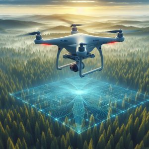
LiDAR is a remote sensing technology that uses laser pulses to measure distances to the Earth’s surface, generating precise three-dimensional information about the terrain and objects below. When integrated with drones, LiDAR systems enable rapid and accurate mapping of landscapes, infrastructure, and assets. LiDAR drones offer unparalleled capabilities for terrain modeling, volumetric analysis, urban planning, disaster management, and more.
The LiDAR Drone market is projected to grow from USD 147 million in 2022 to USD 508 million in 2027; it is expected to grow at a CAGR of 28.1% from 2022 to 2027.
LiDAR Drone Market Dynamics
The LiDAR Drone market is propelled by several key factors:
Advancements in LiDAR Technology: Ongoing innovations in LiDAR sensor technology have led to the development of lightweight, compact, and cost-effective LiDAR systems suitable for integration with drones. These advancements have expanded the accessibility of LiDAR technology across industries, driving market growth.
Rising Demand for Geospatial Data: The increasing need for high-resolution geospatial data for applications such as urban planning, infrastructure development, agriculture, and environmental monitoring is fueling the adoption of LiDAR drones. LiDAR technology provides detailed terrain information essential for informed decision-making in various domains.
Ask for PDF Brochure: https://www.marketsandmarkets.com/pdfdownloadNew.asp?id=128835365
Infrastructure Development Projects: Infrastructure projects such as road construction, railway development, and utility management require accurate topographic data for planning, design, and construction activities. LiDAR drones offer a cost-effective and efficient solution for conducting aerial surveys and generating detailed terrain models.
Environmental Monitoring and Conservation: LiDAR drones play a crucial role in environmental monitoring and conservation efforts by providing precise data on vegetation structure, land cover, and biodiversity. These insights aid in habitat mapping, forest management, watershed analysis, and wildlife conservation initiatives.

LiDAR Drone Market Segmentation :
The LiDAR Drone market can be segmented based on:
- Type of LiDAR Sensor: Airborne LiDAR Systems, Terrestrial LiDAR Systems.
- Application: Topographic Mapping, Construction Site Monitoring, Agriculture, Forestry, Environmental Monitoring, Archaeology, and Others.
- End-user Industry: Government, Agriculture, Construction, Mining, Forestry, Environmental Science, Archaeology, and Others.
Regional Landscape for LiDAR Drone Market
The LiDAR Drone market exhibits a global presence, with key regions including North America, Europe, Asia Pacific, Latin America, and the Middle East & Africa. North America dominates the market, driven by extensive infrastructure development projects, government initiatives, and technological advancements. Meanwhile, the Asia Pacific region is witnessing rapid growth due to increasing adoption in agriculture, construction, and environmental monitoring applications.
